Slopes in motion: rockfalls and landslides 
When soil and rock break off from steep mountain slopes, people and buildings in the valley below are in great danger. We research landslides, rockfalls, and rockslides so risks can be assessed and damage prevented. Through our research, we not only get stones rolling - but even boulders.
Contents 
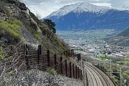
In a mountainous country like Switzerland, not everything that comes from above is good: 6 to 8 percent of Switzerland's surface area – mainly in the pre-alpine and alpine regions – are threatened by landslides, rockfall and rockslides. These natural hazards can be predicted only to a limited extent and often move at high speeds – and are thus a serious threat to valley inhabitants. Given that they unleash colossal forces, protective structures and safety measures often face technical difficulties or are very expensive.
Climate change could exacerbate these risks further: melting glaciers and thawing permafrost release rocks and boulders from their icy grip. If heavy rainfall increases as predicted, hillslope debris flows could occur more frequently. We investigate the processes underlying these natural hazards to improve hazard mapping, early warning and protective measures.
Rock, debris and soil 
Landslides occur when soils on slopes become saturated with water during heavy rainfall and virtually liquify. They endanger infrastructure such as buildings, roads or railway tracks. During storms involving many landslides, we study affected regions so that hazard maps can be improved. We submit the data to researchers and civil protection authorities via our hillslope debris flow database.
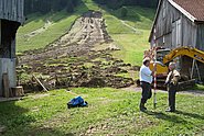
We gather experimental data in our large-scale laboratory: We simulate hillslope debris flows on a ramp in the laboratory and examine how vegetation affects the stability of earth layers using apparatus which we ourselves have developed.
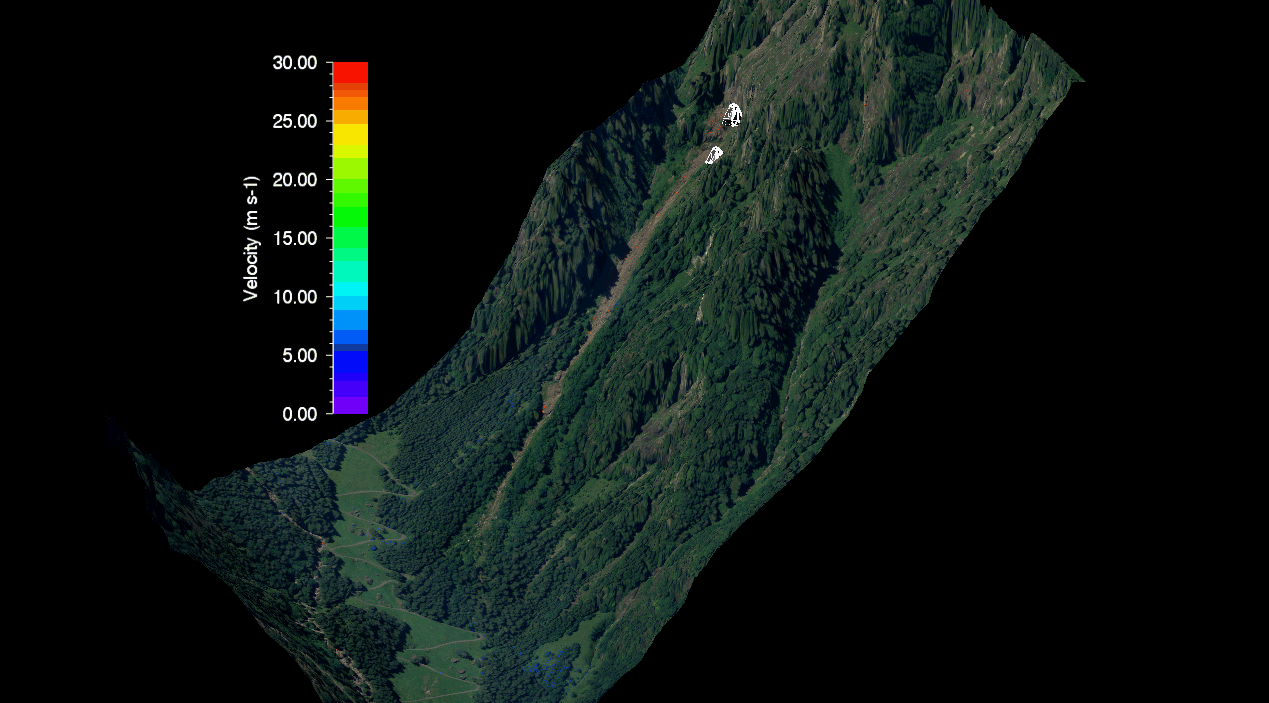
Rockfalls and landslides occur everywhere in the mountains, and especially often where the permafrost thaws. The researchers at the SLF measure rockfall trajectories by rolling boulders equipped with measuring probes down mountain slopes. In the process, they collect information about their speed, rotation and impact. This data is used in the rockfall module of our natural hazard simulation software RAMMS.