
21.03.2019 | Beate Kittl | News WSL
From a beech forest in the Swiss Plateau to mountain pines: Approximately 30,000 photos of forests throughout Switzerland have been taken by the National Forest Inventory (LFI) jointly conducted by the WSL and the FOEN. This pool of photos is now available online. This will allow professionals and laypersons to explore the forests of Switzerland whenever they wish to – comfortably from their homes.
")
Image 1 of 3
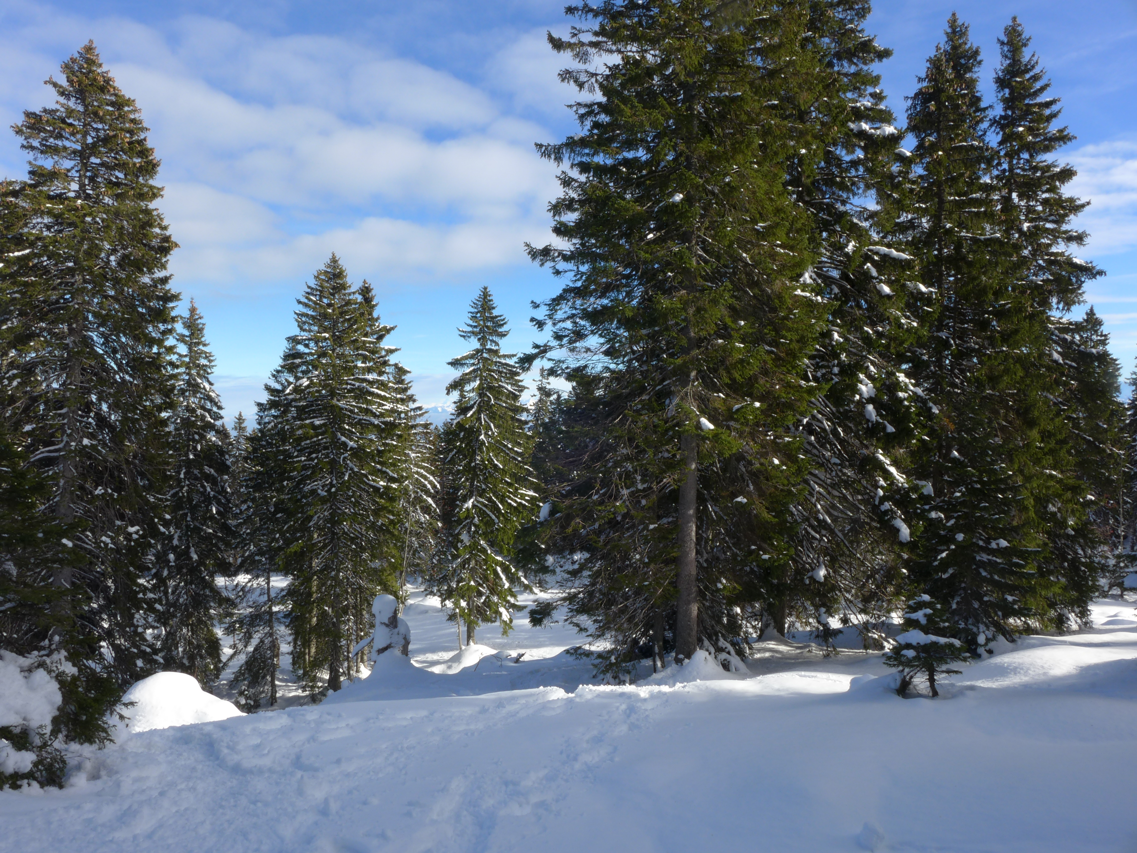
Berolle VD, 15.11.2016 (Photo: NFI/WSL)
")
Image 2 of 3
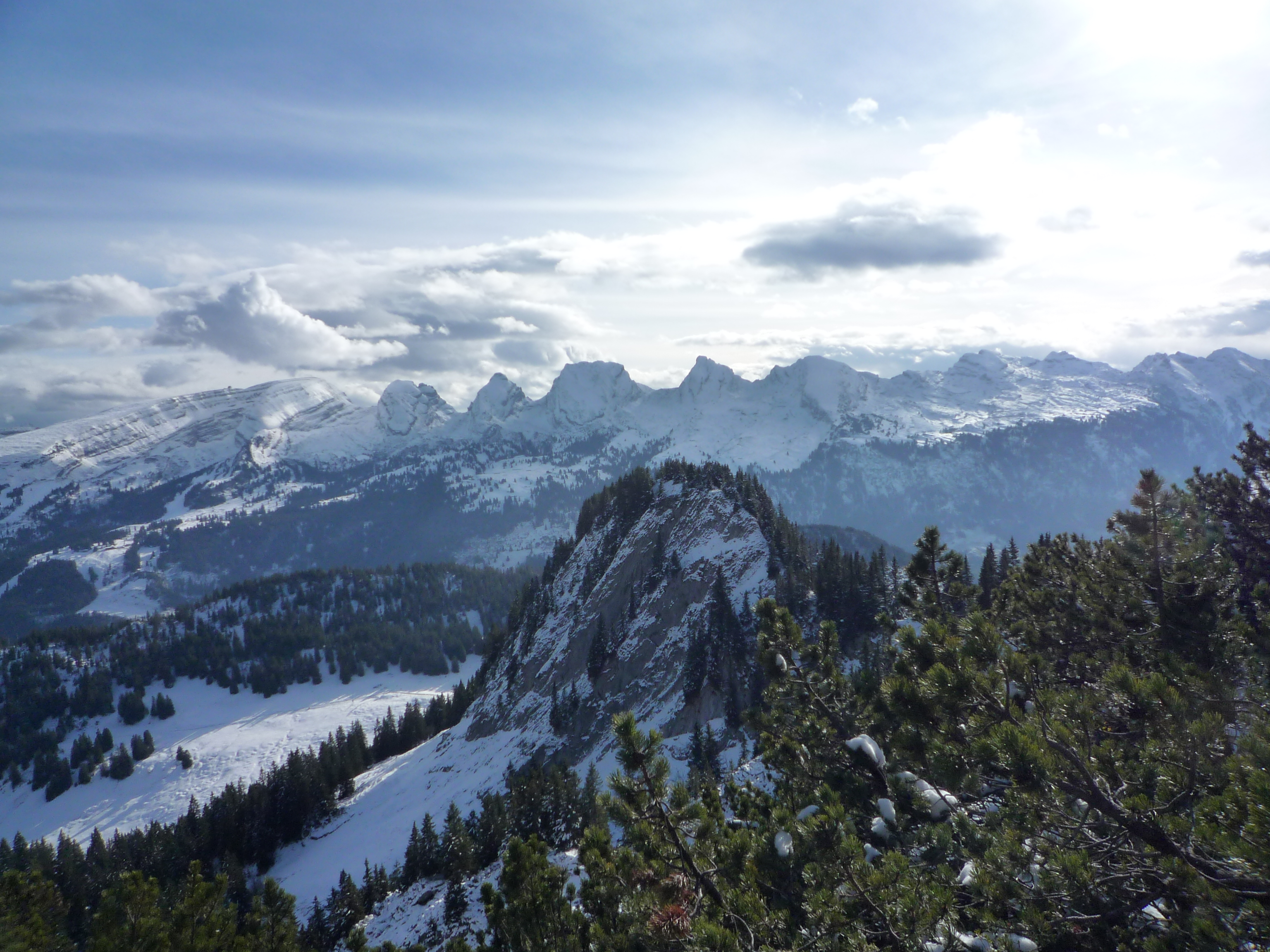
Quarten SG, 02.05.2014 (Photo: NFI/WSL)
")
Image 3 of 3
Wildhaus-Alt St. Johann SG, 10.11.2010 (Photo: NFI/WSL)
Research photos can also just be beautiful. (all photos: NFI/WSL)
There are over 500 million trees in Switzerland – too many to study them all. However, the Swiss National Forest Inventory (LFI) is there to help those who wish to learn as much as possible about the condition of the Swiss forests and the changes within them. Every nine years, LFI personnel survey approximately 130,000 trees on 6,500 sampling plots. This long-term monitoring has been led by the Swiss Federal Institute for Forest, Snow and Landscape Research (the WSL) and the Federal Office for the Environment FOEN since the 1980s; the fifth survey has been underway since 2018.
Beginning in April, the field teams will again drive and trek to the study areas, come rain or shine, surveying all trees over a certain size. On average, they measure 12 trees per study area. They will also survey a variety of site and forest structure characteristics – young firs, old beeches, thick pines or thin maples. Among the 300 or so characteristics measured are deadwood lying on the forest floor, damage to trees, and the description of forest edges.
360° view of the forest
For a good ten years now, digital photos taken in all directions from the centre of the sample area have been included. The mostly unspectacular photographs serve to document the structure and appearance of the inventory plot and of the forest stand and allow them to be found again. More than 30,000 photos have been collected to date; most of them are now available online at «Swiss forest in pictures». Since 2018, the teams have even been taking 360° pictures with a dual-lens camera with each lens covering 180°. The LFI photos now offer a fascinating panoramic view of the Swiss forests.
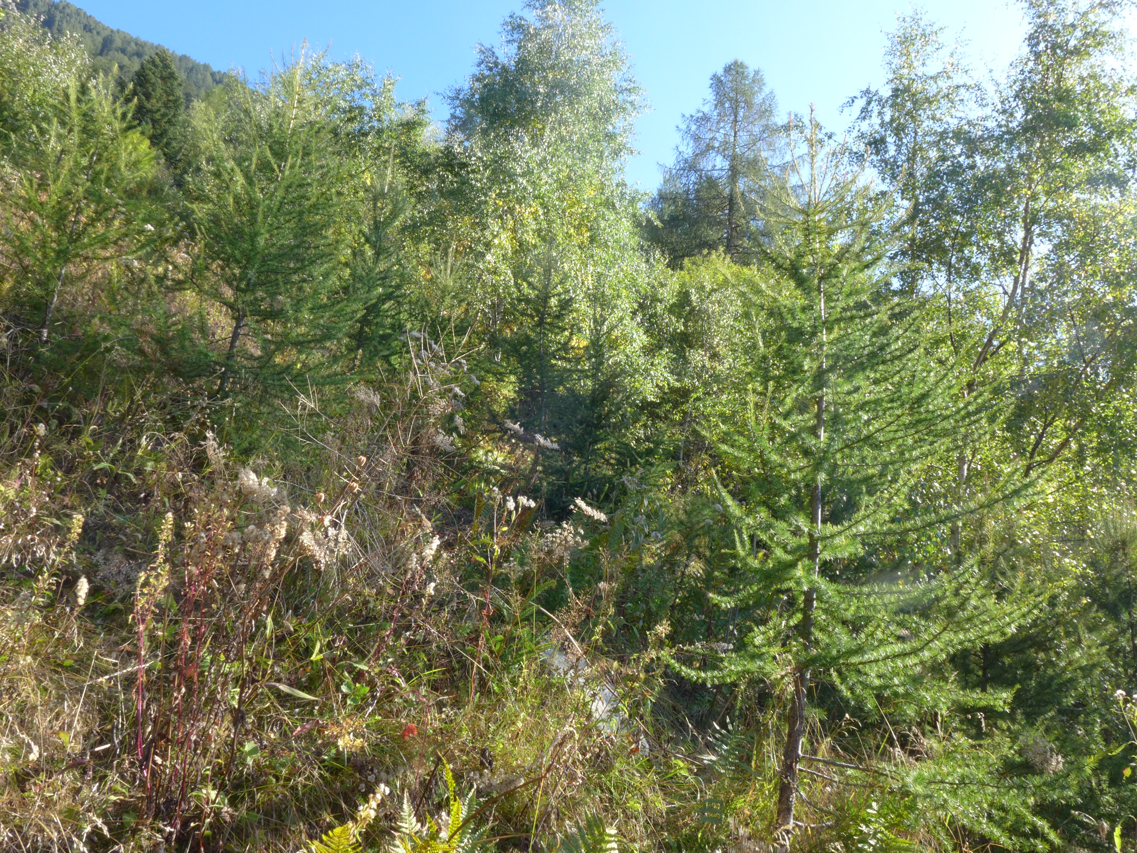
Regenerative new-growth forest in a mountainous area 
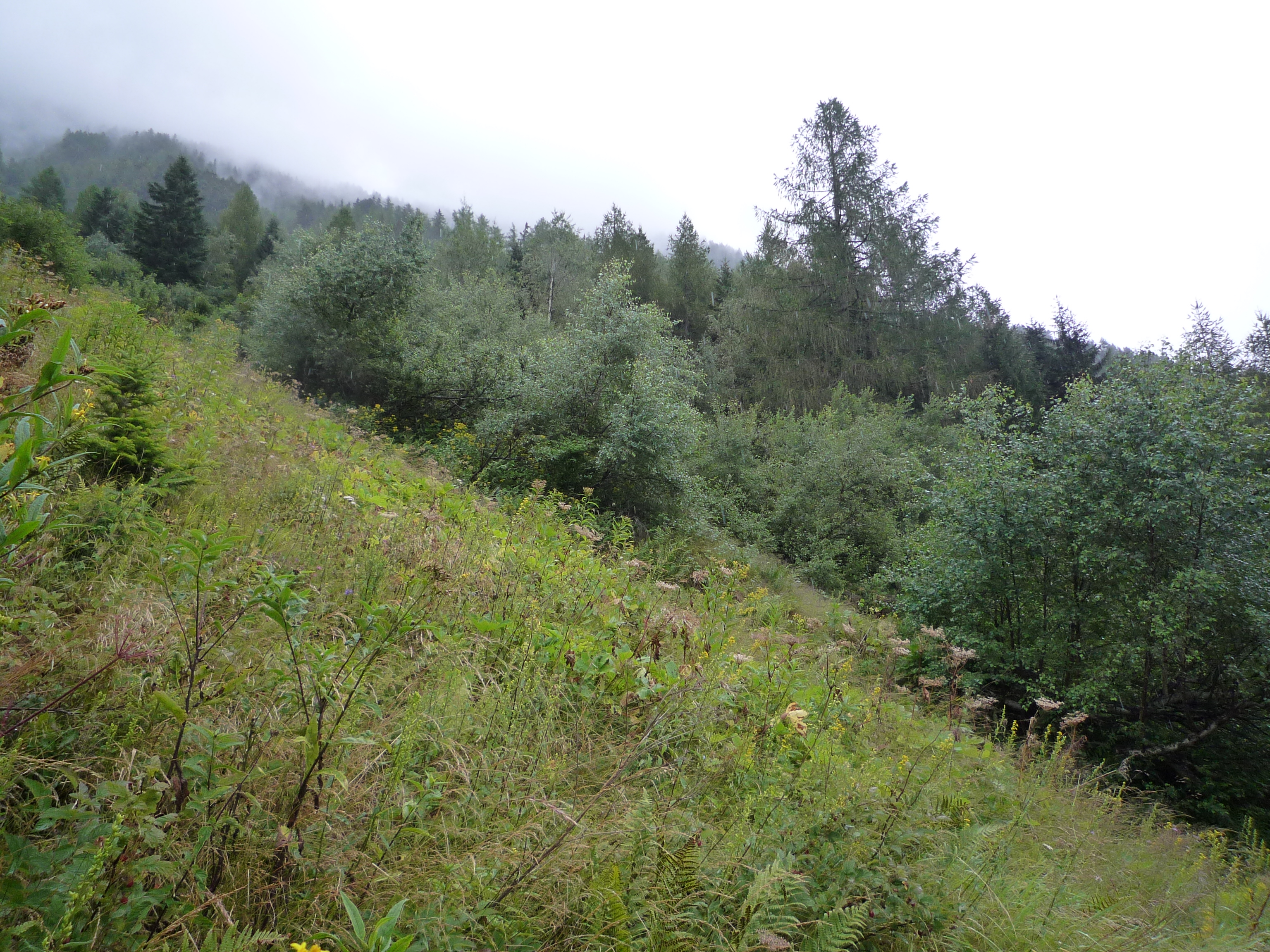
For some monitoring sites, the photos can already be used to show interesting changes in the forests over the past nine years. These changes might include the overgrowth of sparse mountain forests, the ideal habitat for the endangered capercaillie, or regenerating trees or deadwood in storm-afflicted areas as well as signs of timber use. The LFI monitoring sites cover all elevations and all types of forests and groves. More time series will be available when the field investigations begin again in April, and the photos are continuously updated. What constitutes a forest and what does not, is decided by specially trained WSL interpreters on the basis of swisstopo aerial photographs of the country's topography.
"The images are available, and we would like to make them accessible to scientists and the general population," says Simon Speich. He is a computer scientist at the LFI and has programmed the photo application. The LFI photos have already been put to use in a survey conducted by the WSL's social scientists to ascertain what types of forest people do and do not find beautiful. According to Speich, other applications of the photos are conceivable, for example, as a dataset for training Artificial Intelligence.
Individual images can be downloaded directly (via download link) and may be freely used with reference to the source LFI/WSL. However, the exact coordinates of the monitoring sites remain secret, and photos that would reveal their location are not included. This is to ensure that the monitoring sites are not disturbed and that they represent the entirety of Swiss forests as well as possible in the future.
To see the photos: «Swiss forest in pictures»
To learn more about the National Forest Inventory: https://www.lfi.ch/index-en.php?lang=en
The NFI is carried out by the Swiss Federal Institute for Forest, Snow and Landscape Research (WSL) in collaboration with the Forest Division at Federal Office for the Environment (FOEN). The WSL is responsible for the planning, survey and analysis, as well as the scientific interpretation. The political interpretation and implementation is done by the Forest Division.
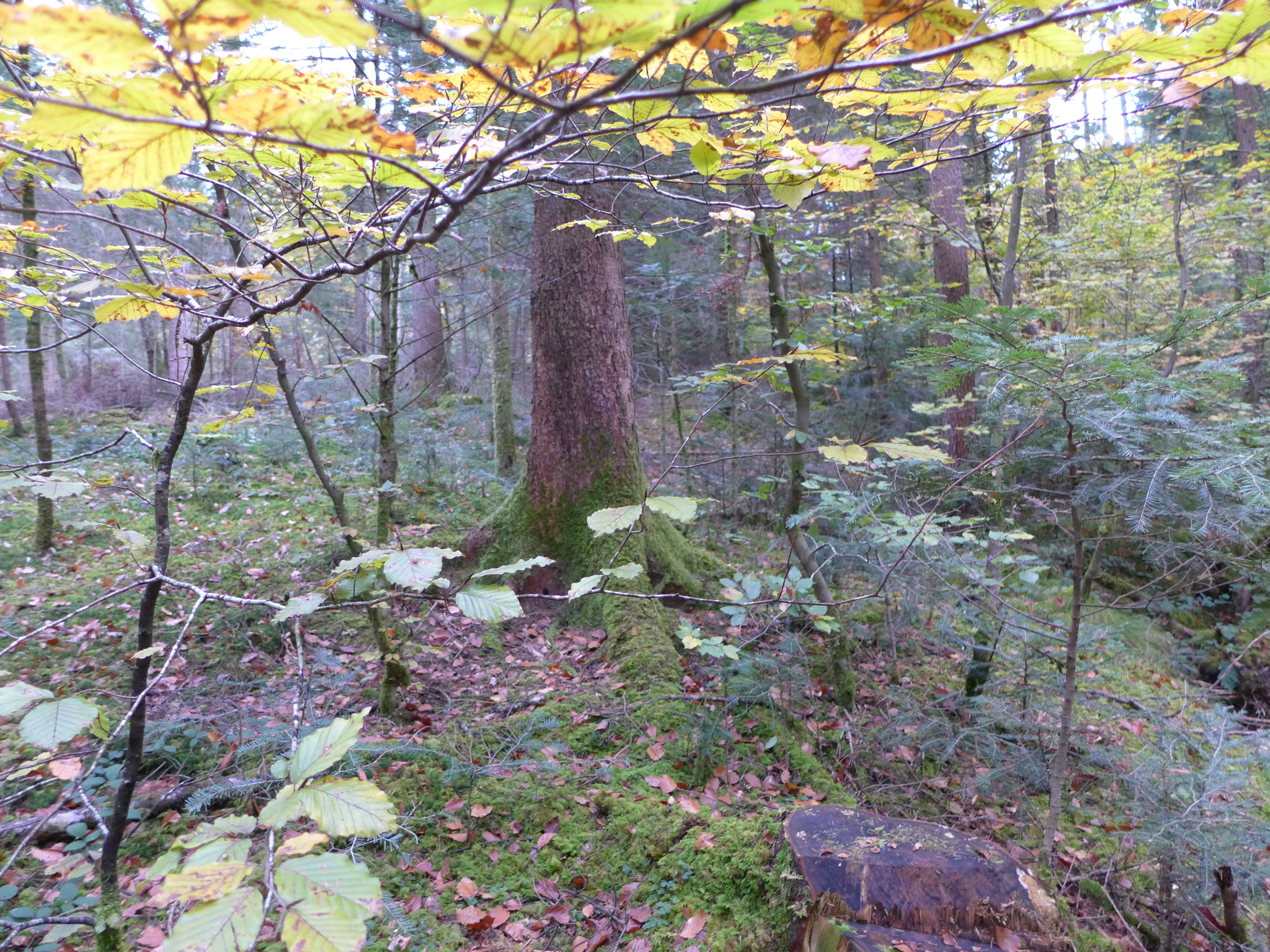
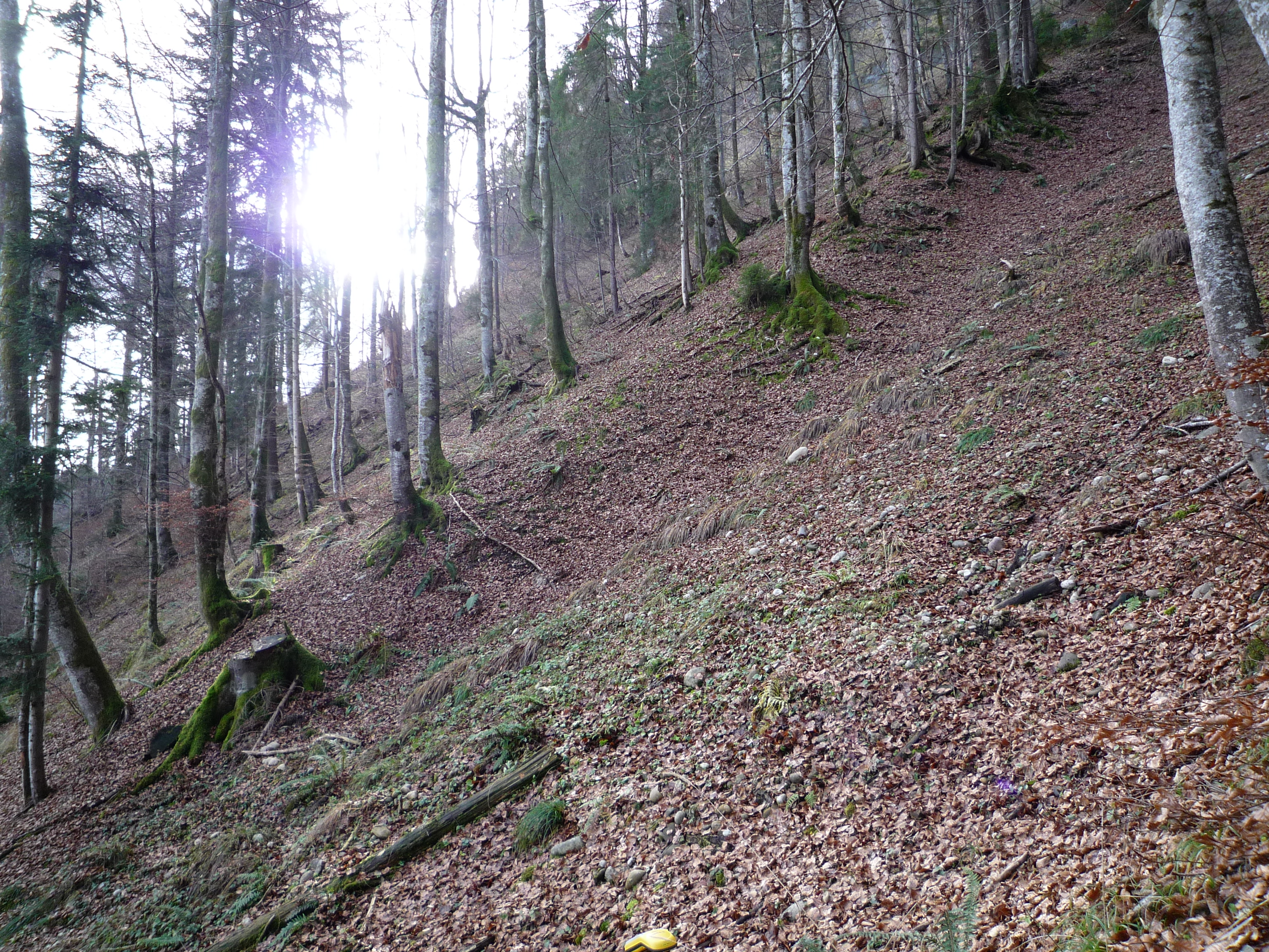
And then there was one. Logging activities in Wichtrach BE. 
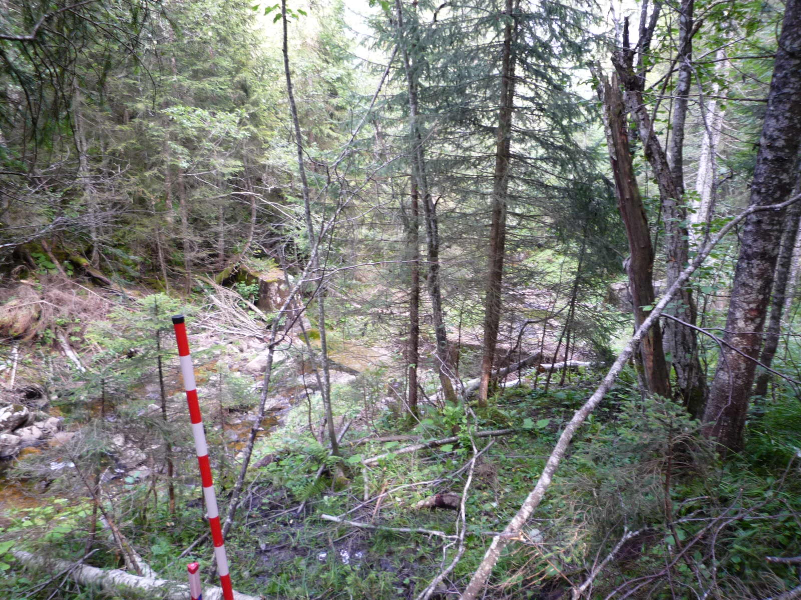
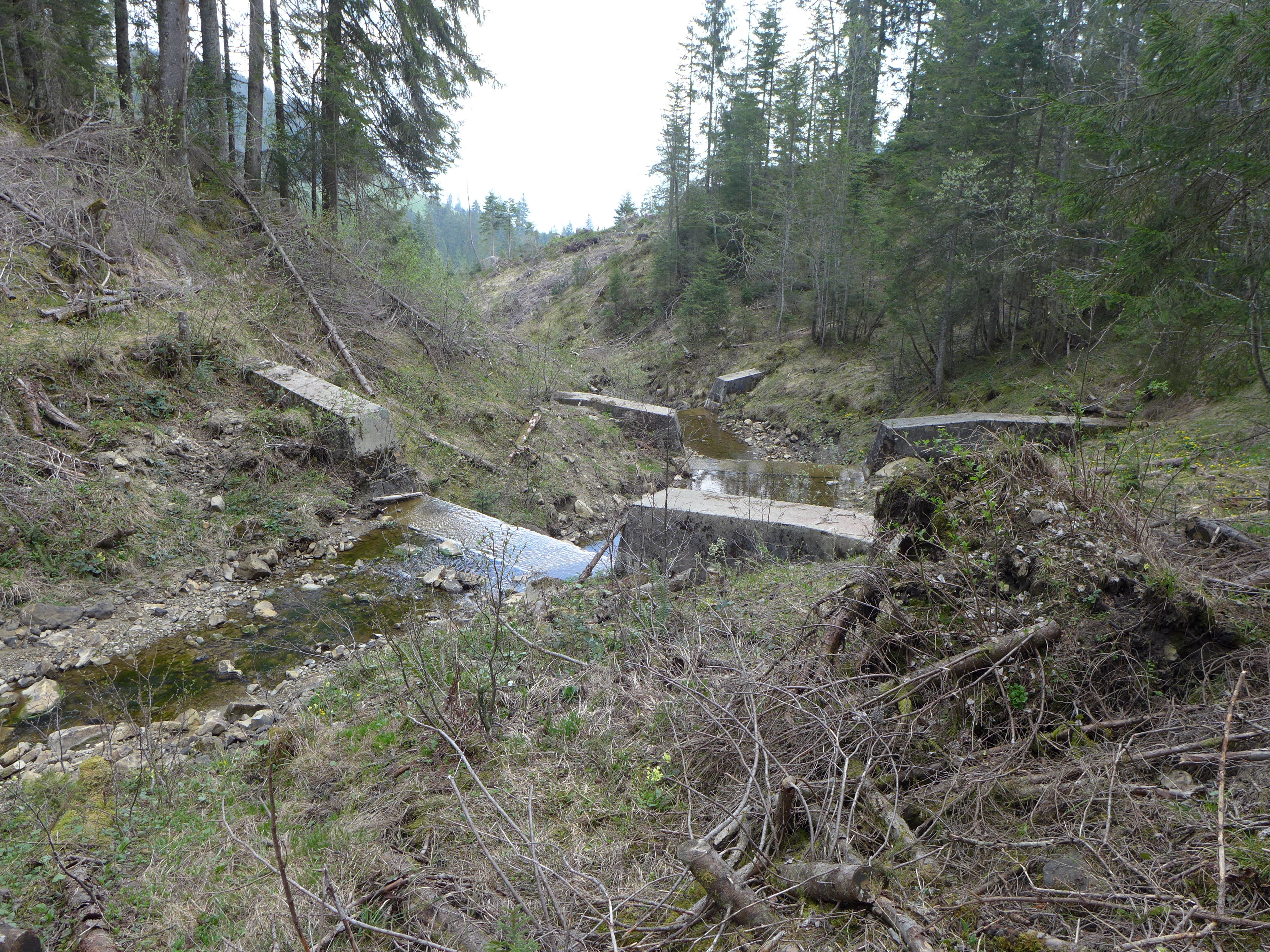
Storm and/or flooding damage in a brook ravine, Alpnach OW. 
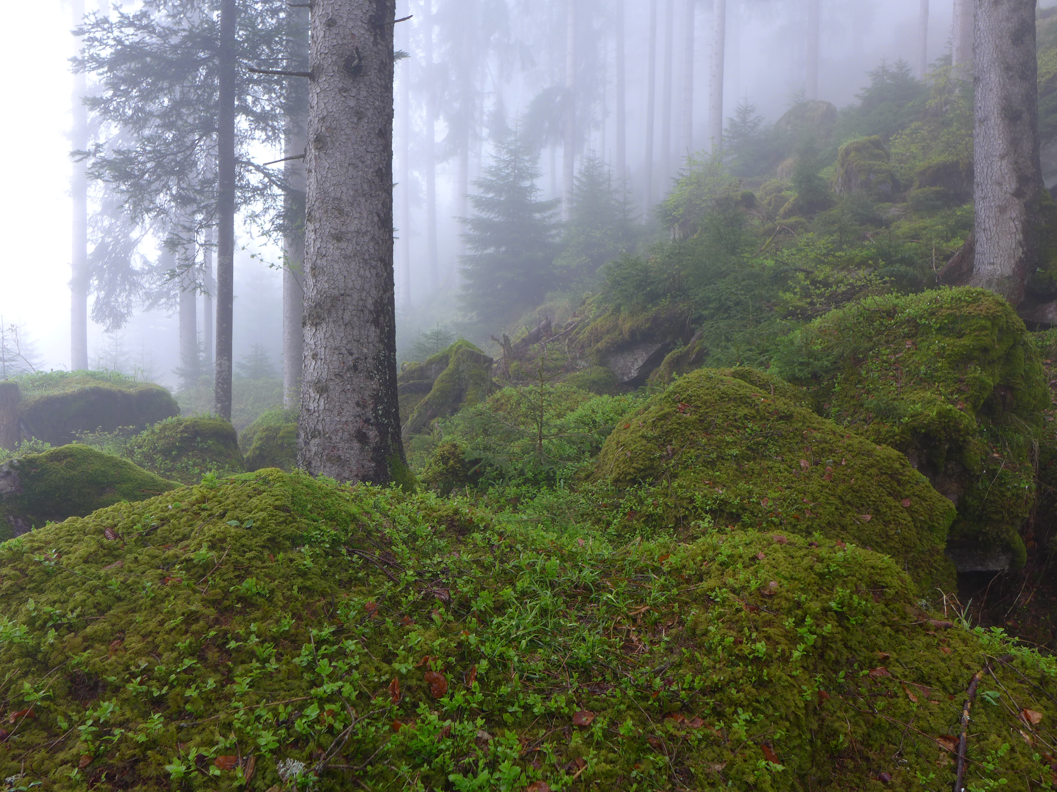
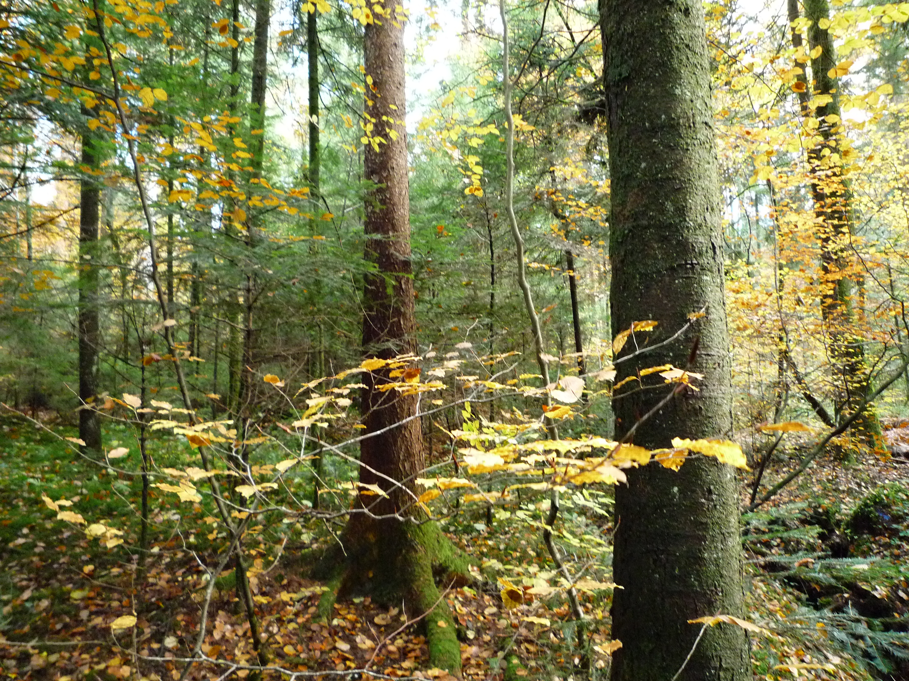
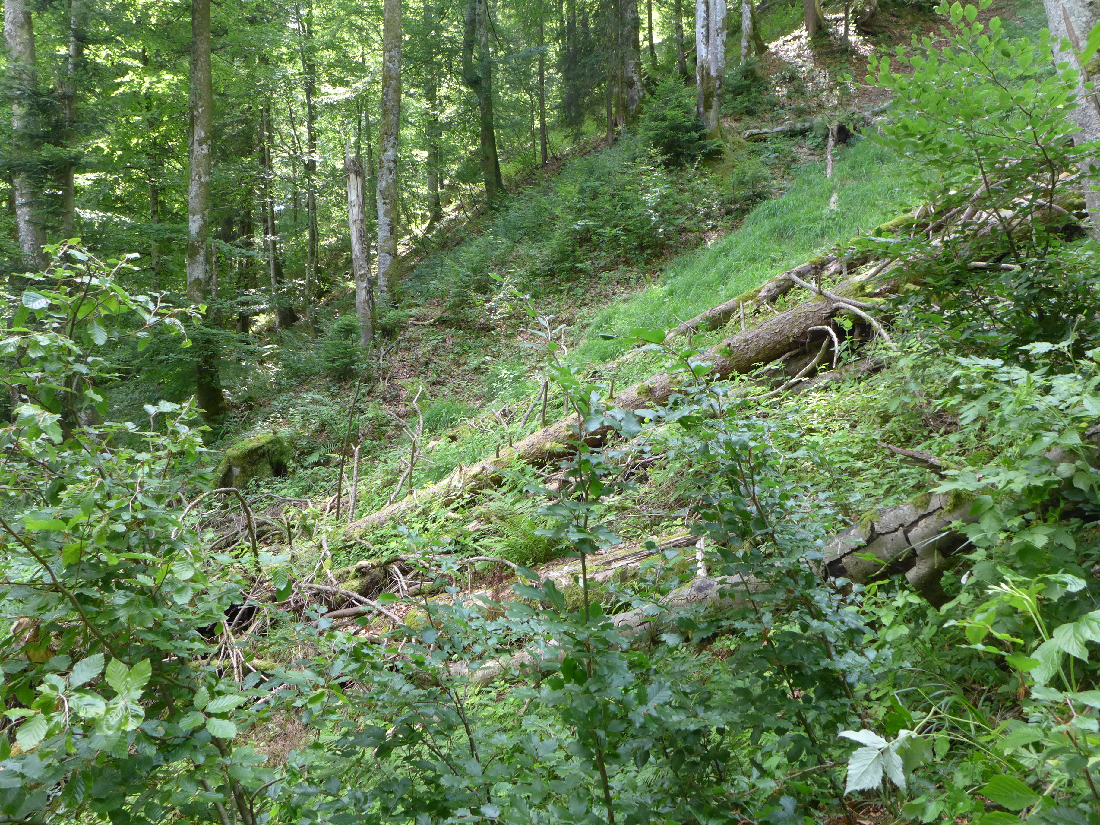
Over the years, a lot of deadwood and new growth have accumulated here. 
Contact 
Links and documents 
Copyright 
WSL and SLF provide image and sound material free of charge for use in the context of press contributions in connection with this media release. The transfer of this material to image, sound and/or video databases and the sale of the material by third parties are not permitted.