
25.04.2023 | Beate Kittl | News WSL
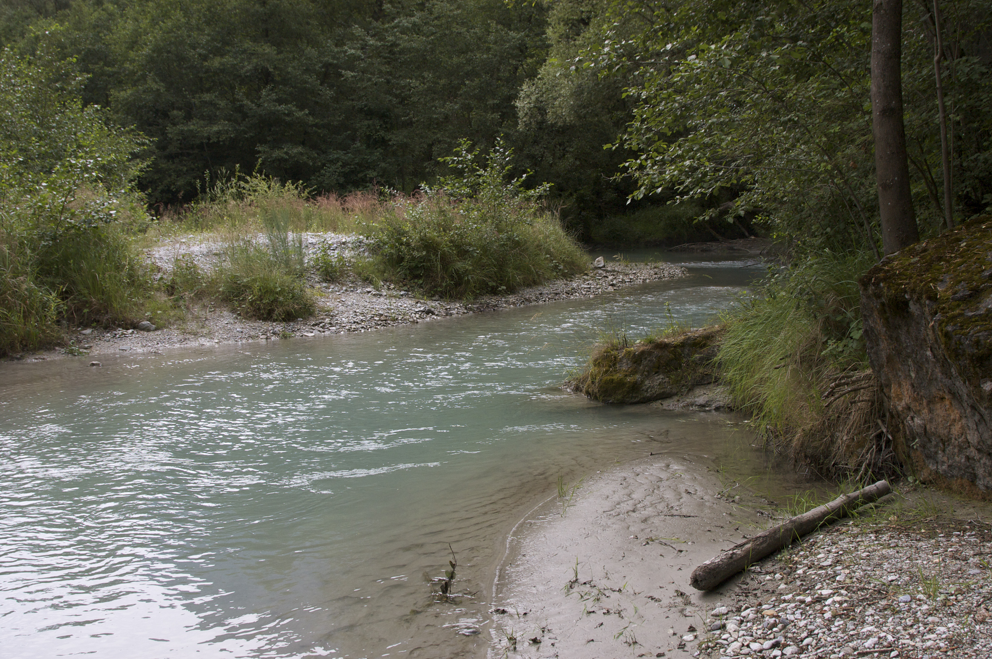
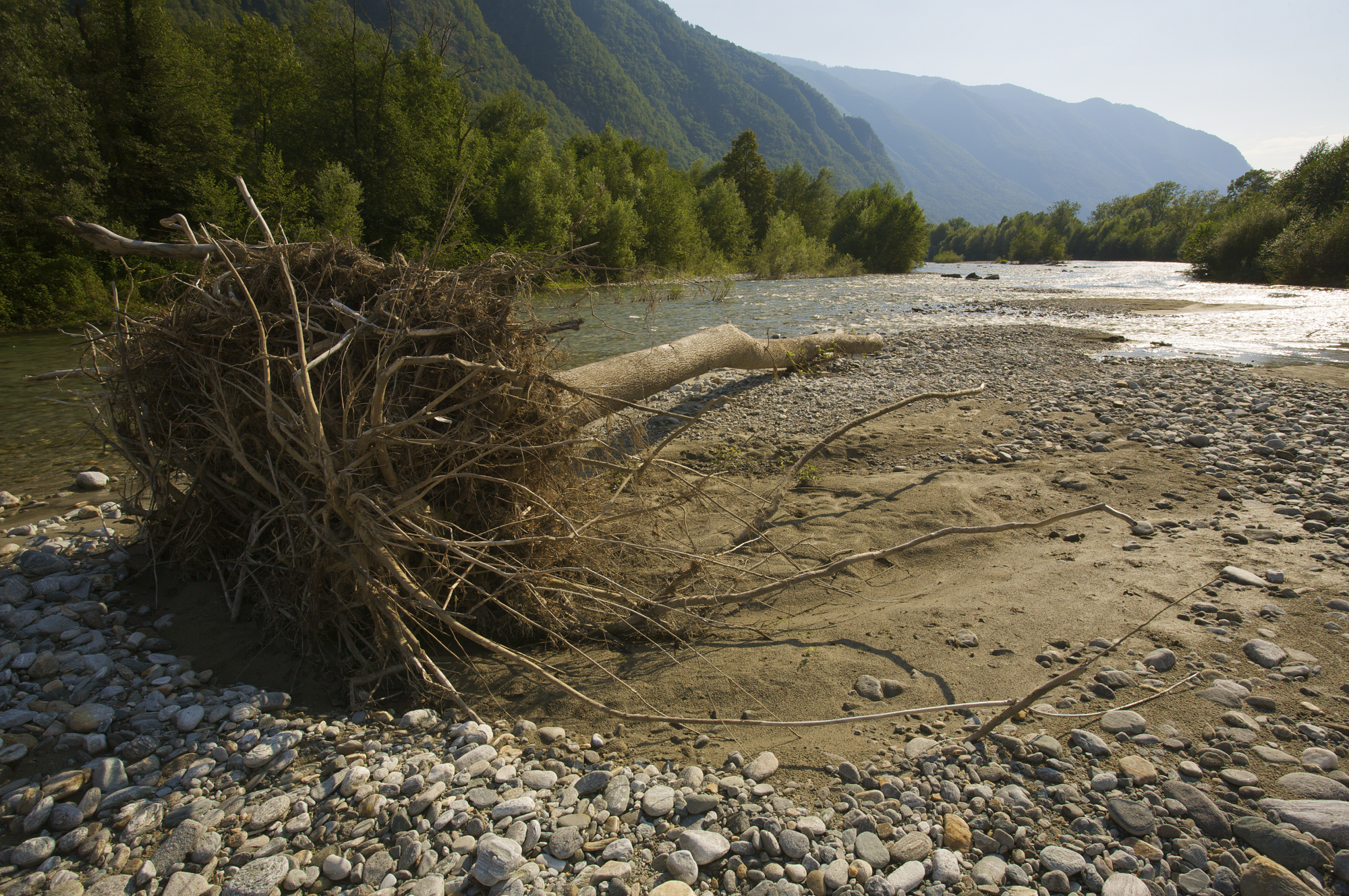
Near-natural watercourses are among the most species-rich habitats in Switzerland. Gravel banks and alluvial forests change with every flood. Organisms living here are perfectly adapted to this - they even need the regular reshaping by the river to spread, interconnect and get rid of stronger-growing competitors. Humans, however, have eliminated this natural dynamic in many places, be it for flood protection or for energy production. Now the cantons have to make the river landscapes more natural again, according to the Waters Protection Act, which was revised in 2011.
In the research programme "Hydraulic Engineering and Ecology", ecologists and hydraulic engineers from various Swiss institutions investigated how nature conservation and flood protection can be combined. Their results have now been published in the report "Riverscape – sediment dynamics and connectivity" in the FOEN's "Umwelt Wissen" series.
The WSL's contribution: How computer models are helpful 
The Swiss Federal Institute for Forest, Snow and Landscape Research WSL contributed two of the nine chapters:
Chapter 1: The WSL research team shows how ecological models facilitate the planning of river restoration. They help planners to identify river sections where species that should be promoted are most likely to occur. And they do this without expensive on-site surveys of species diversity. The models also make it possible to predict which areas are suitable for as many species as possible, based on their ecological fingerprint. The climatic future can also be included in the planning. In this way, planning can take place on a large scale along catchment areas and rapidly advance the crucial connectivity of habitats along rivers. This is because the renaturation of Swiss rivers is not progressing at the pace that would be necessary to reshape the 4,000 kilometers of obstructed rivers to a natural state by 2090 as required by law.
Chapter 2: Modelling can also make sense at a local level. WSL researchers, together with hydraulic engineers from the Laboratory of Hydraulics, Hydrology and Glaciology (VAW) at ETH Zurich, use hydrodynamic models to simulate the flooding and circulation of river sediments during floods. After all, the water creates potential sites for typical pioneer species that are the first to colonise gravel banks. The German tamarisk (Myricaria germanica) in the Moesa River in Misox (GR) served as an example. This small shrub growing on gravel banks depends on recurrent flooding, otherwise faster-growing willows displace it. Indeed, seedlings of the plants were found at most of the sites predicted by the model. The tamarisk is an indicator species, so it is representative of other organisms to be protected that live on gravel banks. The model can not only predict potential habitats but can also be used to monitor the success of habitat enhancements.
The research project "Riverscapes - sediment dynamics and connectivity. 2017-2022" was a joint project of the FOEN and the research institutions WSL, Eawag, EPFL and ETH Zurich, as well as experts from the applied sector - from cantons, private offices and non-governmental organisations.
Always up to date: Subscribe to the WSL Newsletter
Contact 

Publications 
Link to the original publication on the FOEN website
Links and documents 
Flood protection and ecology on rivermanagement.ch
The whole playlist on the Research Program Hydraulic Engineering and Ecology by Eawag on YouTube.

Copyright 
WSL and SLF provide the artwork for imaging of press articles relating to this media release for free. Transferring and saving the images in image databases and saving of images by third parties is not allowed.