02.05.2022 | Cassie Lumbrazo | SLF News
The Snow Hydrology Research Group observed the first signs of spring at the Sodankylä Arctic Research Center through thermal drone imagery and melting river ice.
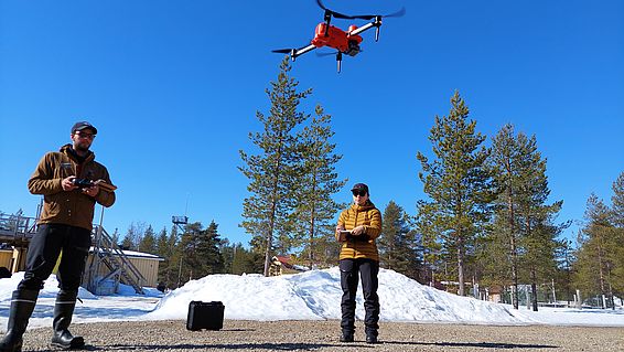
After much anticipation, all of our drones arrived at the Finnish Meteorological Institute Arctic Research Center (FMI ARC), which were a vital part of our field campaign as aerial observations allow us to view trees and snow from a new perspective above the forest. One of the drones we flew is the Snow Hydrology Research Group’s EVO II Dual 640T RTK Autel drone that takes both optical and thermal infra-red images. We used this drone to repeatedly fly over our field sites to measure spatial patterns in both tree and snow temperatures, as well as changes in the thermal radiation patterns throughout the day and night.
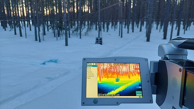
While the Autel drone was in the air taking aerial thermal measurements, one of our team members was on the ground in the forest taking measurements with a hand-held thermal camera. Both these cameras were important because direct exposure of the forest and snow to the sun’s rays creates interesting thermal patterns that we can only see in thermal IR imagery (Photo 2). We captured airborne and ground-based IR images both during the day under direct sunlight conditions and at night, long after sunset, to capture the temperature patterns of the trees and snow. In the evening after a sunny day, tree trunks often stick out in thermal images since, unlike snow and other canopy elements, they remain warm well into the night (Photo 2; Video 1).
Video 1. A screen captured video of the Autel drone’s view over our study site during an evening flight where the inner image shows what the IR camera captures while the drone is landing.
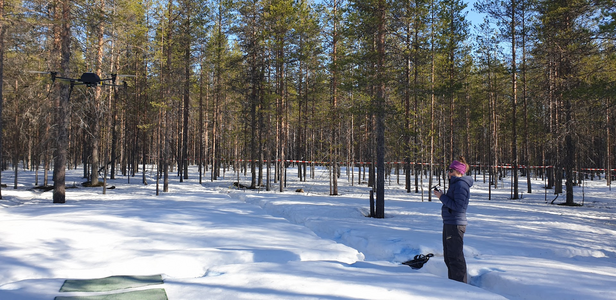
Clare Webster from the University of Oslo (UiO) Department of Geosciences Drone Lab flew a hand-built drone inside the forest to measure vertical profiles of air temperature and wind, complementing the stationary measurements at the micro meteorological stations. The drone, named Flamingo, was built by her colleague Norbert Pirk as part of a “drone swarm” he uses to measure carbon and energy exchange in the arctic tundra. Our visit to Sodankylä was a perfect opportunity to test whether such drones can also be used to measure vertical variations in forest micrometeorology that can’t be captured by our micro meteorological stations.
Our combination of drone- and ground-based observations will allow unique insights into the physical processes that control snow cover and energy exchange in boreal forests. We will combine our drone and ground based thermal images to create a 3D model showing both the horizontal and vertical variations in the forest canopy surface temperatures. These datasets will be vital to validate our radiation transfer model, which we use to calculate high-resolution radiation data as input for our snow models. With our detailed measurements, we aim to be able to see the impact of individual trees on snowmelt processes in our models.
Signs of spring in the Arctic 
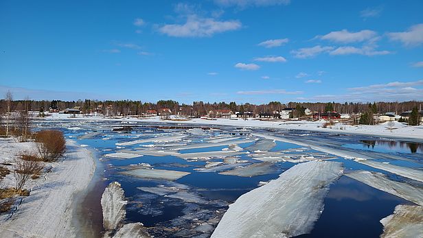
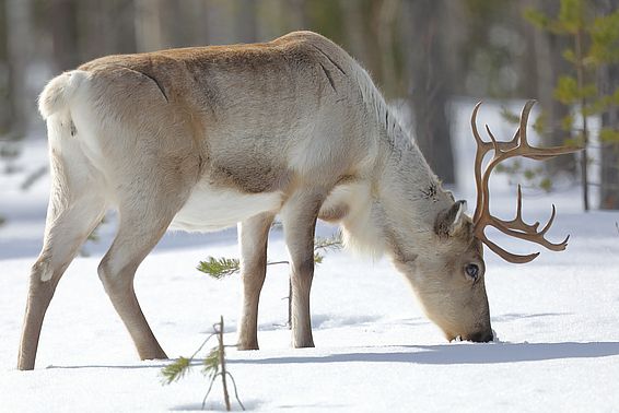
Sodankylä was warm and quiet over Easter weekend, and local wildlife certainly noticed the tranquility. We followed some wolf tracks up a ski trail, and watched as reindeer took advantage of their last chance to cross the frozen Kitinen River.
After a few warm days in a row, we experienced the river ice break up on the Kitinen River just upstream of FMI. It was a spectacular way to observe the influence of the longer and warmer days on this arctic landscape, and a clear sign that our visit to collect data during snowmelt and spring warming was at the right time.
