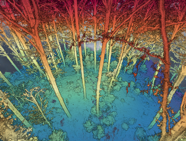
Open Laser Scanning Database for characterization of Forest Biophysical properties and beyond (Forest3DTwin)
Project lead
Deputy
Project staff
Project duration
2024 - 2026
FinancingThe 3D characterisation of trees and forests using terrestrial LiDAR (TLS) offers great potential for modelling carbon, energy fluxes and habitat diversity. Many research groups collect complex TLS data in forests. There is no open repository of data or even metadata. In the project Forest3DTwin, we want to build a prototype for the open storage of measured 3D data with reference data and are convinced that this can be established at WSL in the long term.

