CHELSA (Climatologies at high resolution for the earth’s land surface areas) is a high-resolution climate data set for the global land surface area. It is hosted by the Swiss Federal Institute for Forest, Snow and Landscape Research WSL and enjoys great demand among ecologists interested in the distribution of species. The temperature and precipitation data help to model living conditions of species.
In order to be able to study living organisms, ecologists need the most precise data possible on the climatic conditions of the respective ecosystems. From the temporal and spatial distribution of temperature and precipitation, they can calculate local habitats (niches), vegetation periods, or the distribution of animal and plant species. Small errors in the climate models can quickly lead to large deviations in such models, which makes it difficult to investigate ecological changes.
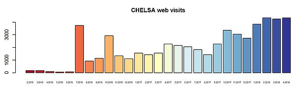
An improvement of climate information is therefore desirable. Especially for regions with a low density of meteorological stations as mountains or remote rainforests. With CHELSA, WSL researchers and colleagues now offer a solution that has quickly become popular among ecologists, as is demonstrated by a steadily increasing number of downloads and publications using the data.
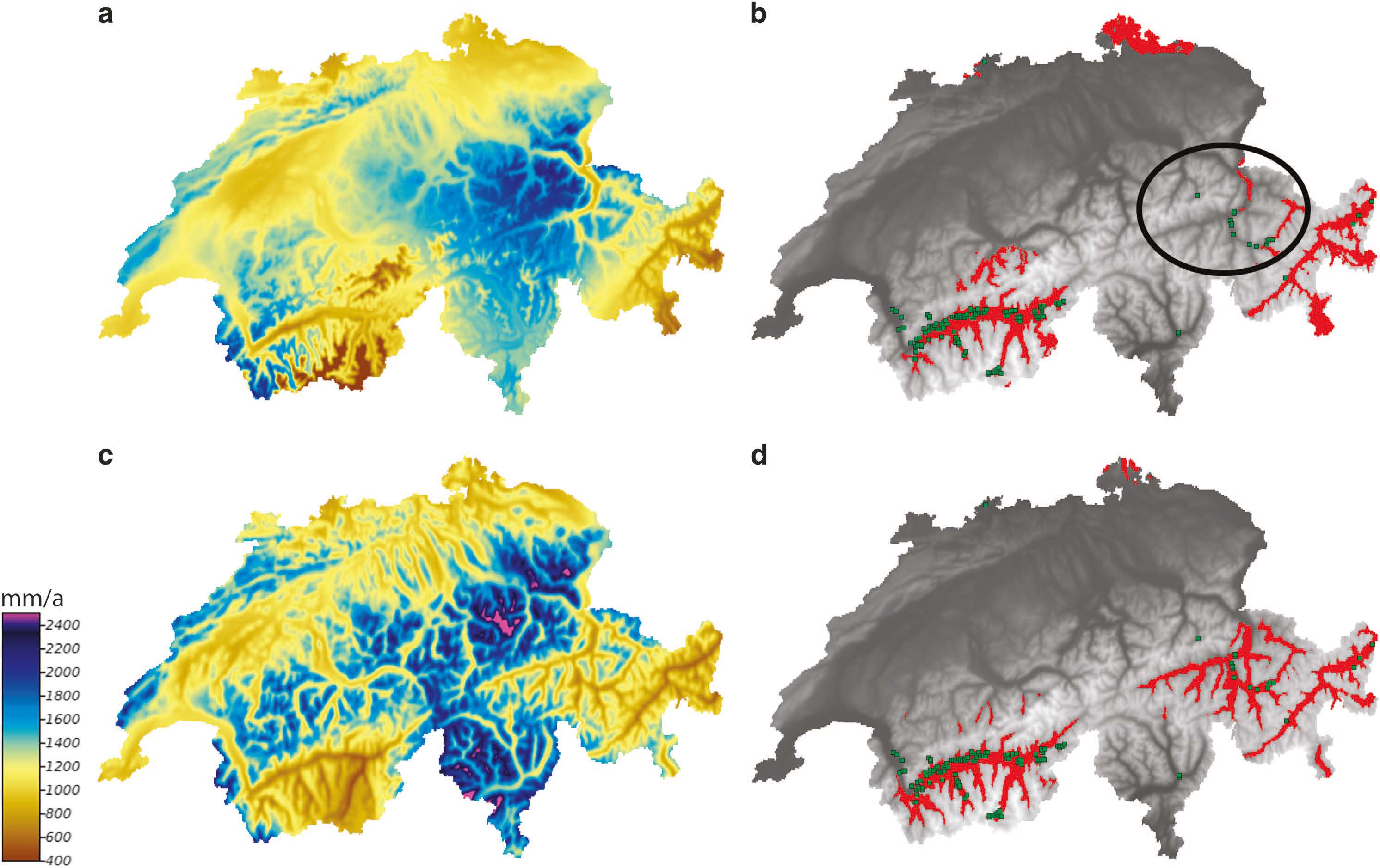
CHELSA solves the problem of unequal distribution of meteorological stations by mechanistically downscaling a worldwide, constantly updated climate data set (ERA-interim = global re-analysis model data set) from coarse to fine resolution (to approx. 1 km2 grid size). Thus, the model provides worldwide, monthly time series for temperatures and precipitation for the period from 1979 to 2013. The model is now also applied to future climate change scenarios and paleo climate models, providing data for the next 100, and the last 21,000 years.
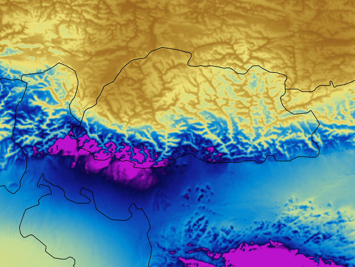
Tests show that CHELSA generates more reliable patterns of climate data than the previously used interpolations based on climate station data - especially in mountainous regions and in areas with low station density (see publication). In particular, precipitation patterns are better predicted compared to other models.
Dr. Dirk N. Karger and Prof. Dr. Niklaus E. Zimmermann from the WSL are responsible for hosting the database. The method was developed in cooperation with the Universities of Hamburg (Jürgen Böhner, O. Conrad, T. Kawohl), Zurich (M. Kessler, H.P. Linder) and Göttingen (H. Kreft).
Publications for which CHELSA data have been used: 
Link and Download 
Further information and download: http://chelsa-climate.org
or on EnviDat: http://www.envidat.ch/dataset/chelsa-climatologies